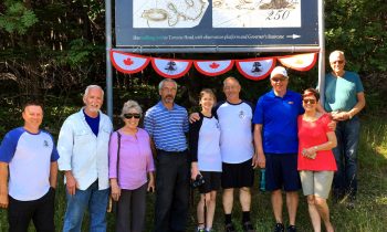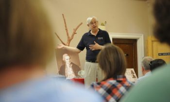
Cabox Geopark Commemorates Cook Newfoundland Chart
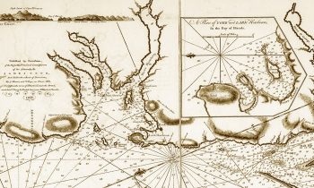
CommemorationsOn October 26, Cabox Geopark in Western Newfoundland commemorated the 250th Anniversary of James Cook’s ‘Chart of the West Coast of Newfoundland’. Considered by many to be Cook’s finest map, the chart was published a year after his last survey in Eastern Canada, after being selected to command a voyage to the Pacific Ocean to witness the transit of Venus and search for the fabled southern continent.