CH 1: Eastern Canada
Foreword
By Barry Gough, Maritime and Naval Historian, Royal Military College of Canada
From time immemorial, First Nations knew the lands and waterways of what we now call Canada. But in many ways James Cook personifies the bridge that leads back to critical years in Canadian national history. He was arguably the most famous seagoing explorer of his or any age, and he stands head and shoulders above all persons in defining the outer limits of what is now Canada. He touched all of its temperate, ocean coastlines at that magical moment in history that lies between the fall of the French Empire in North America and the Declaration of Independence of Thirteen American Colonies. No more torrid time exists in Canada’s history, for the tides of empire were swirling around its shores and the boundaries of North America were being defined by military victory and defeat.
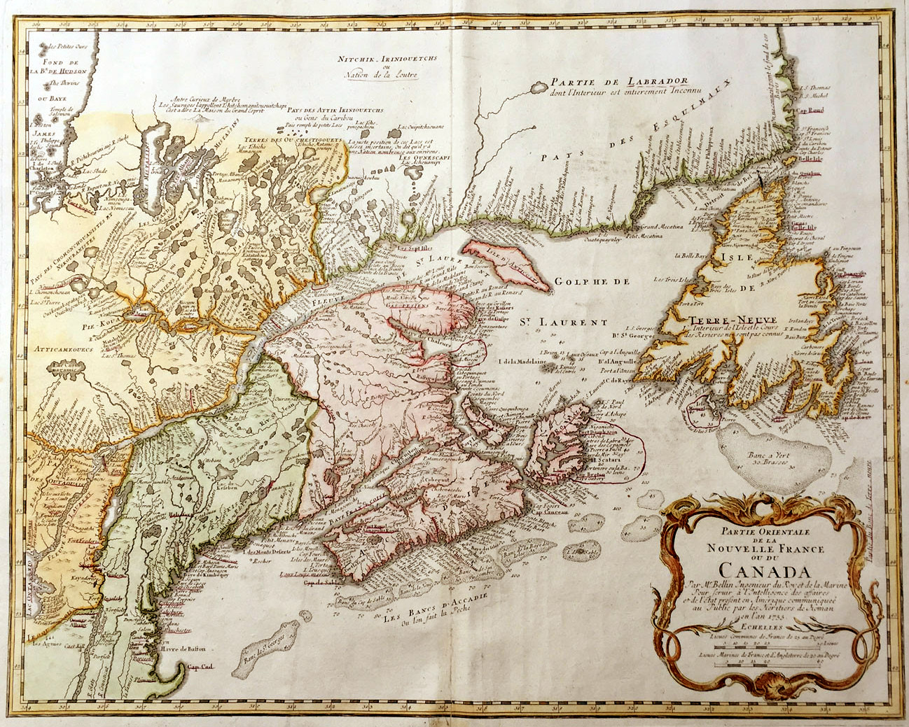
Between 1758 and 1778 the essential dimensions of modern Canada were set down in the precise years that Cook was engaged in surveying its coasts. From Newfoundland and Labrador, Nova Scotia, New Brunswick, Prince Edward Island and Quebec on the Atlantic Coast to Vancouver Island (where Cook would repair ships and refresh his crew during his search for the western entrance to the Northwest Passage) in what would become British Columbia on the Pacific Coast, Cook had a hand in delineating imperial spaces with his maps, charts and navigation descriptions. In his sailing to high Arctic waters, through Bering Sea to Icy Cape, Alaska, he delineated the northwesterly extension of what British North America’s limits might be.
French and Indian War (1758-1762)
James Cook had entered the Navy in 1755, for reasons of his own and much to the astonishment of both the Walker brothers whose employ he left, and the Royal Navy, who were only too pleased to receive him into pay. At the time of his entry into the Navy he was a highly competent coastal mariner who had learned his trade in the Walkers’ colliers along the treacherous North Sea coast and on a few passages to Ireland and Norway. His practical seamanship was unmatched, and combined with his physical and personal qualities to produce promotion out of the ranks of the common seamen within a month of his joining the Navy. His scholarly self-instruction in mathematics and the scientific bases of navigation were not yet developed to a similar degree, however, and it would only achieve a equal level of competence with his physical seamanship when he had had the benefit of additional encouragement from perceptive commanders such as Hugh Palliser of Eagle, and, in particular, John Simcoe of Pembroke, under whom Cook first came to North American waters.
Newfoundland Surveys (1763-1767)
With the restoration of peace in 1763, James Cook, Master of Northumberland, was paid off. Yet this was the moment when the contacts and connections that he had developed by then as a master in the Royal Navy came forcefully into play. Hugh Palliser, who had encouraged Cook to take his Master’s examination in 1757, served as commander-in-chief of the Newfoundland station ships for most of the time that Cook spent surveying the coasts of Newfoundland Labrador. Alexander, Lord Colvill, praised Cook’s skills as a chart-maker in a letter to the Admiralty Secretary, remarking on his “Genius and Capacity” and declaring that Cook’s work “may be the means of directing many in the right way, but cannot mislead any.” But of the several individuals who had helped shape Cook’s career, one of the most important surely was Thomas Graves.
Commemorations (2017)
Throughout summer 2017, there will be James Cook 250 Exhibits at key locations in Cabox Aspiring Geopark, from Gros Morne National Park’s Discovery Center in Woody Point (Route 431) to the Community Museum at Gillams on the north shore of Humber Arm, Bay of Islands (Route 440) and Woods Island Resettlement House and Historic Center in Benoit’s Cove on the south shore of Humber Arm in Bay of Islands (Route 450). A “James Cook Walking Trail” with storyboards will also be designated on the south shore of the Bay of Islands.

