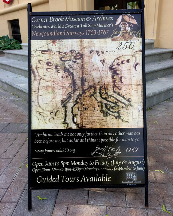
The Corner Brook Museum and Archives will celebrate Cook 250 through its permanent exhibit of ‘Cook and Canada’ developed in partnership with the Captain Cook Memorial Museum in Whitby, Yorkshire, England.
The exhibit includes a copy of Cook’s map of the southern half of the West Coast of Newfoundland, created by Cook in 1767 during his final survey of the island
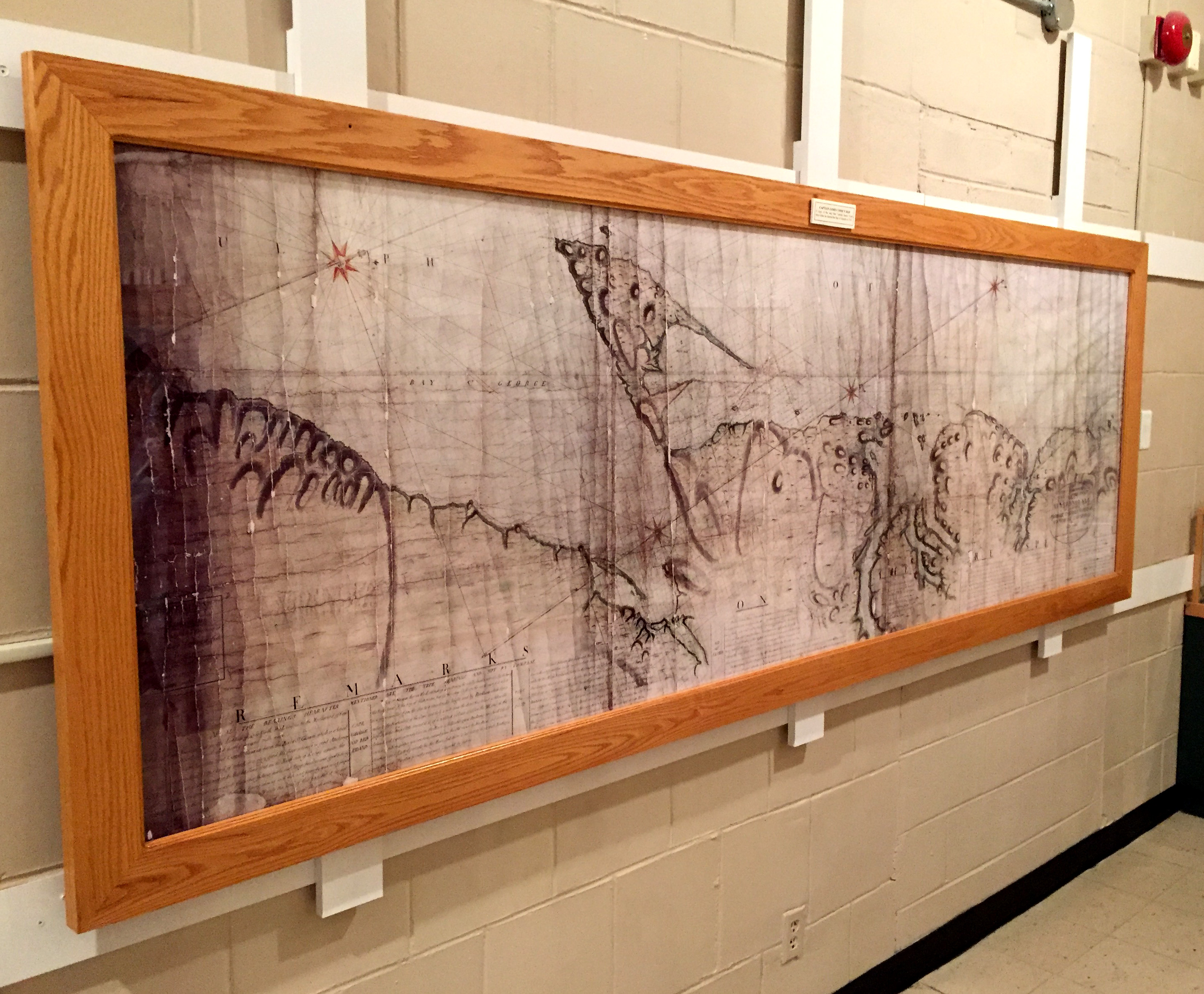
before being selected by the British Admiralty and Royal Society to sail to the Pacific Ocean to witness the transit of Venus and search for the fabled southern continent.
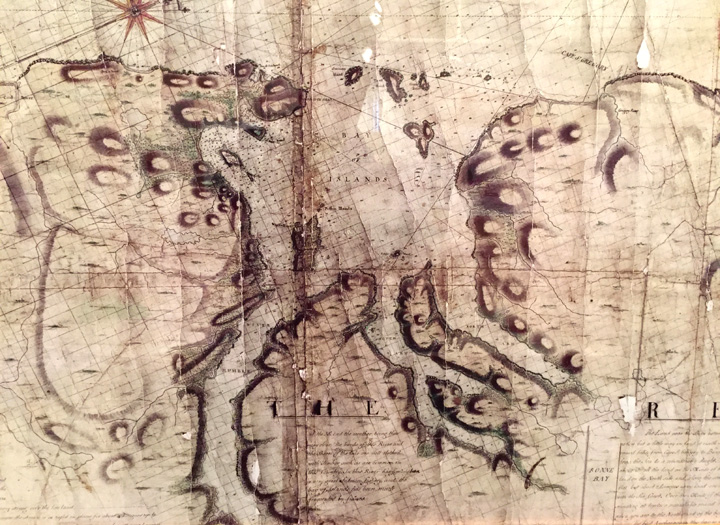
Detail, Cook Map of West Coast of Newfoundland, Bay of Islands
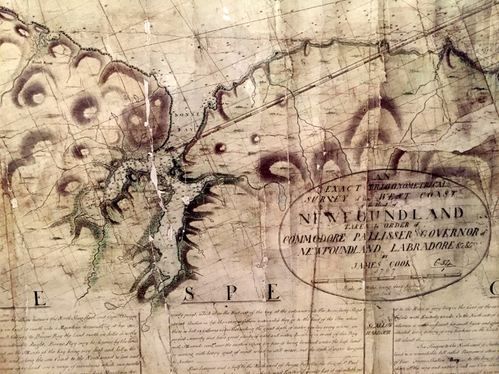
Detail, Cook Map of West Coast of Newfoundland, Bonne Bay