The latest video from the National Library of Australia takes a look inside The Cook And The Pacific exhibition which brings together objects from Australia and around the world to explore what Captain James Cook’s voyages meant for the Pacific region through the eyes of the British voyagers and the Indigenous peoples they met.
It also highlights the advances in mapping which occurred during this period, with his 3 Pacific voyages between 1768 and 1780 leading to large parts of the world being accurately charted for the first time.
The exhibition shows the detail of the maps, artworks, journals, logs and collected Pacific materials across locations including Tahiti, New Zealand, the east coast of Australia, Hawaii and even Siberia.
The NLA’s Curator of Maps, Martin Woods, talks about the significance of the maps Captain Cook used before he began his first voyage and the charting completed throughout the Pacific and Australia.
Watch the video to learn more:
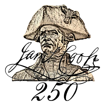
The 250th anniversary of Captain James Cook’s voyage to Australia and the Pacific takes place from 2018 to 2020. Find out more by visiting the National Library of Australia’s website.