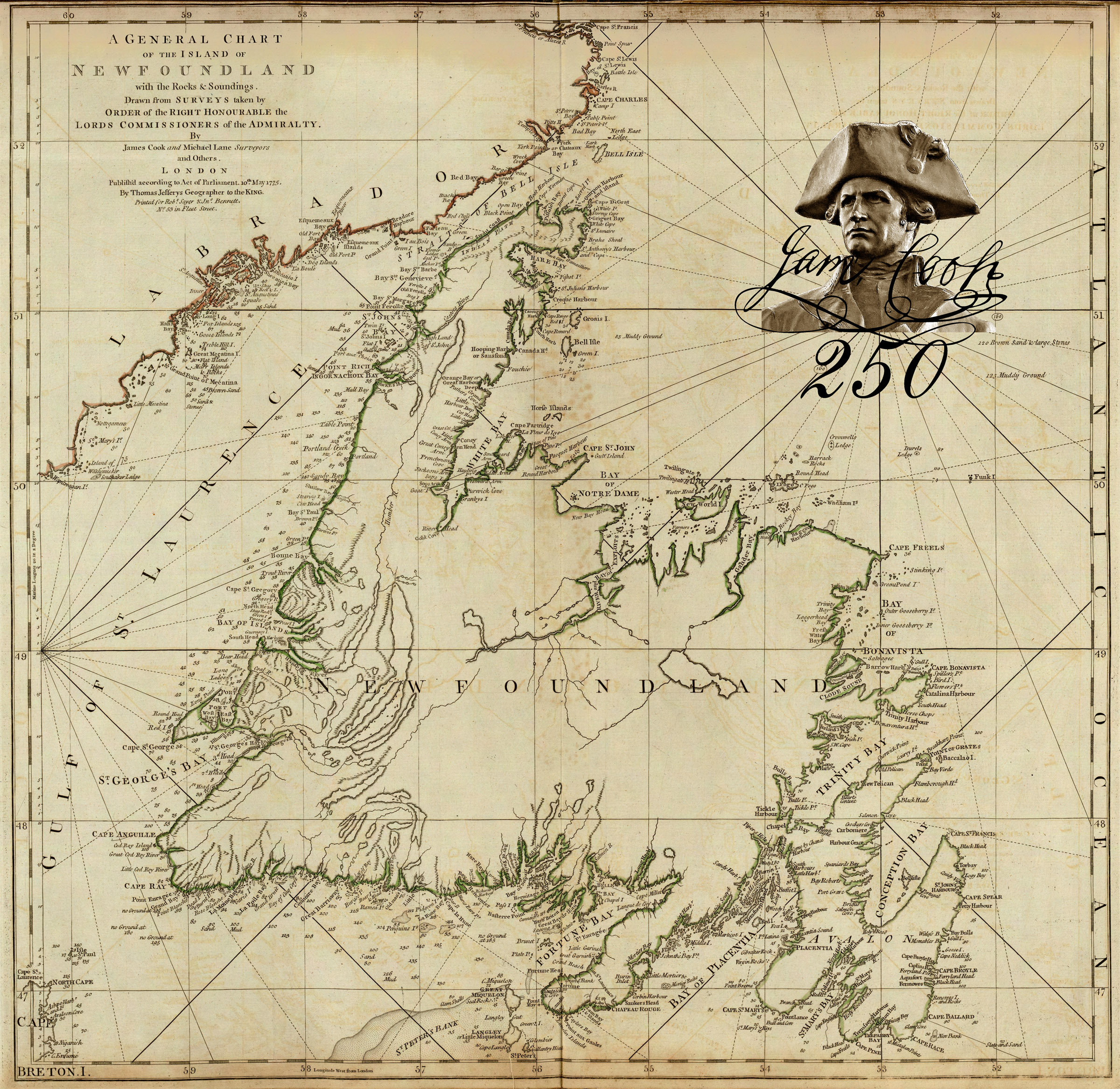
On May 10, Western Newfoundland’s Cabox Aspiring Geopark commemorated the 250th Anniversary of the publication of Cook’s General Chart of the Island of Newfoundland by posting a 3-minute video which summarizes Cook’s life and ends with a spotlight on the technically innovative map of Britain’s first overseas colony, an important fishing ground and nursery for sailors.
The chart was published in London in 1770 under the authority of the British Admiralty by Thomas Jefferys, Geographer of the King, while Cook was off the east coast of Australia during his first voyage to the Pacific Ocean. It was published as part of his ‘Collection of Charts of the Coasts of Newfoundland and Labradore, &c’, a prototype or assay for the celebrated North-American Pilot, published in five English editions, from 1775 to 1806, and copied in a French version of 1784.

